
HEADLINE
French Wildfire Creates Monster Cloud and Lightning Storm, Igniting New Blazes
OPENING HOOK
When a fire becomes so unimaginably hot and violent that it climbs miles into the sky and builds its own weather system, normal firefighting rules no longer apply.
WHAT HAPPENED
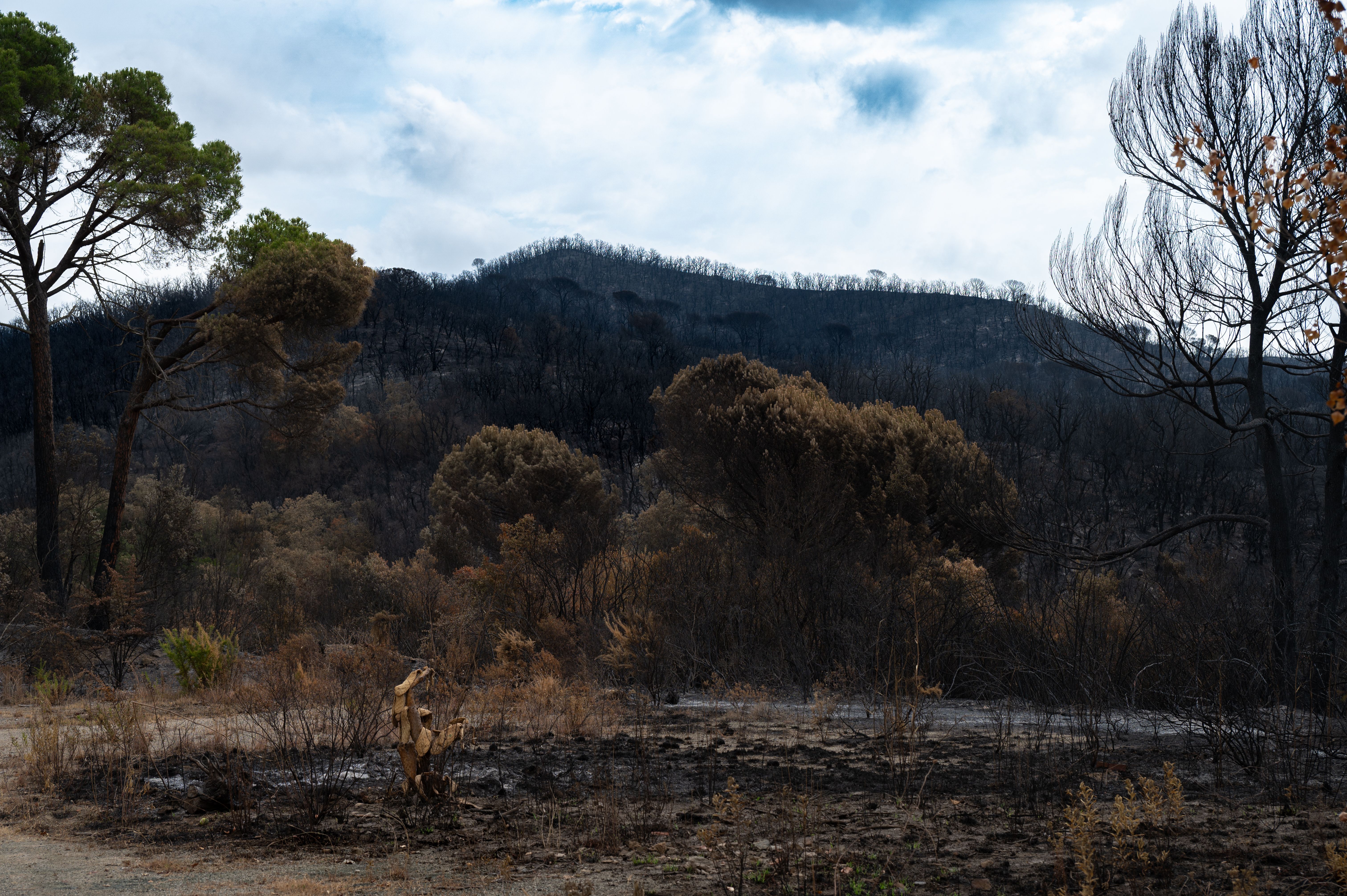
A massive wildfire burning in southwest France escalated dramatically after its towering column of smoke transformed into a fully fledged thunderstorm. According to French authorities, this weather phenomenon—known scientifically as a pyrocumulonimbus cloud—generated intense lightning that struck the ground outside the primary fire zone, sparking entirely new blazes. The fire was no longer just being pushed along by local weather conditions; it had begun manufacturing its own dangerous wind patterns and atmospheric disturbances, catching emergency responders completely off guard.
WHO ARE THE KEY PLAYERS
The primary entities involved in managing this crisis are French regional emergency response agencies and the national firefighters federation. These groups coordinate large-scale evacuations, deploy specialized aerial firefighting units, and manage ground resources across the European landscape.
UNDERSTANDING THE LOCATION
The incident took place in southwest France, a region known for its dense pine forests, agricultural lands, and Mediterranean-influenced climate that can experience severe seasonal dryness. During peak summer months, vegetation across this part of Western Europe often dries out completely, turning local woodlands into tinderboxes that are highly vulnerable to rapid ignition.
BACKGROUND AND CONTEXT
Wildfires have become increasingly intense across Southern and Western Europe due to prolonged dry spells and rising global temperatures. Historically, blazes in this region were driven primarily by surface winds, low humidity, and dry brush. However, climate researchers have noted a worrying global rise in extreme fire behaviors where massive blazes generate their own internal atmospheric feedback loops.
EXPLAINING IMPORTANT REFERENCES
A pyrocumulonimbus cloud is a specialized type of cumulonimbus thunderstorm that forms above a powerful heat source, such as a volcanic eruption or a massive wildfire. The intense heat forces air and moisture rapidly upward, carrying smoke, ash, and soot high into the atmosphere where it cools and condenses into a towering storm cloud capable of producing lightning, heavy downdrafts, and erratic wind gusts.
IMPACT ANALYSIS
The appearance of fire-generated thunderstorms complicates emergency response efforts immensely. Traditional firefighting strategies rely on predicting wind direction to create firebreaks and position personnel safely. When a blaze creates its own violent, shifting winds and launches burning embers miles away via lightning strikes, containment lines become obsolete, putting nearby villages and critical infrastructure at severe risk.
WHAT HAPPENS NEXT
Emergency management agencies across Europe are expected to review their disaster response protocols to account for extreme atmospheric fire behaviors. As seasonal temperatures remain high, meteorological and forestry services will likely enhance satellite monitoring to detect the early formation of towering smoke columns before they can spawn secondary lightning storms.
HERO PERSPECTIVE
The emergence of a pyrocumulonimbus cloud, as documented by the national firefighters federation in southwest France, marks an unprecedented escalation in wildfire behavior for the country. This meteorological event demonstrates how intense thermal energy can alter local atmospheric conditions, rendering traditional containment strategies inadequate when lightning strikes ignite secondary blazes far beyond the original perimeter.
CLOSING
As extreme weather events continue to challenge emergency services worldwide, understanding the mechanics of fire-driven thunderstorms will be crucial for protecting communities and natural habitats from compounding disasters.