
HEADLINE
Olympic Mountain Glory: Satellite View of Earth's Ecosystems
OPENING HOOK
Imagine looking down from space and seeing towering mountain peaks, deep river valleys, and dense green forests all sitting side by side.
WHAT HAPPENED
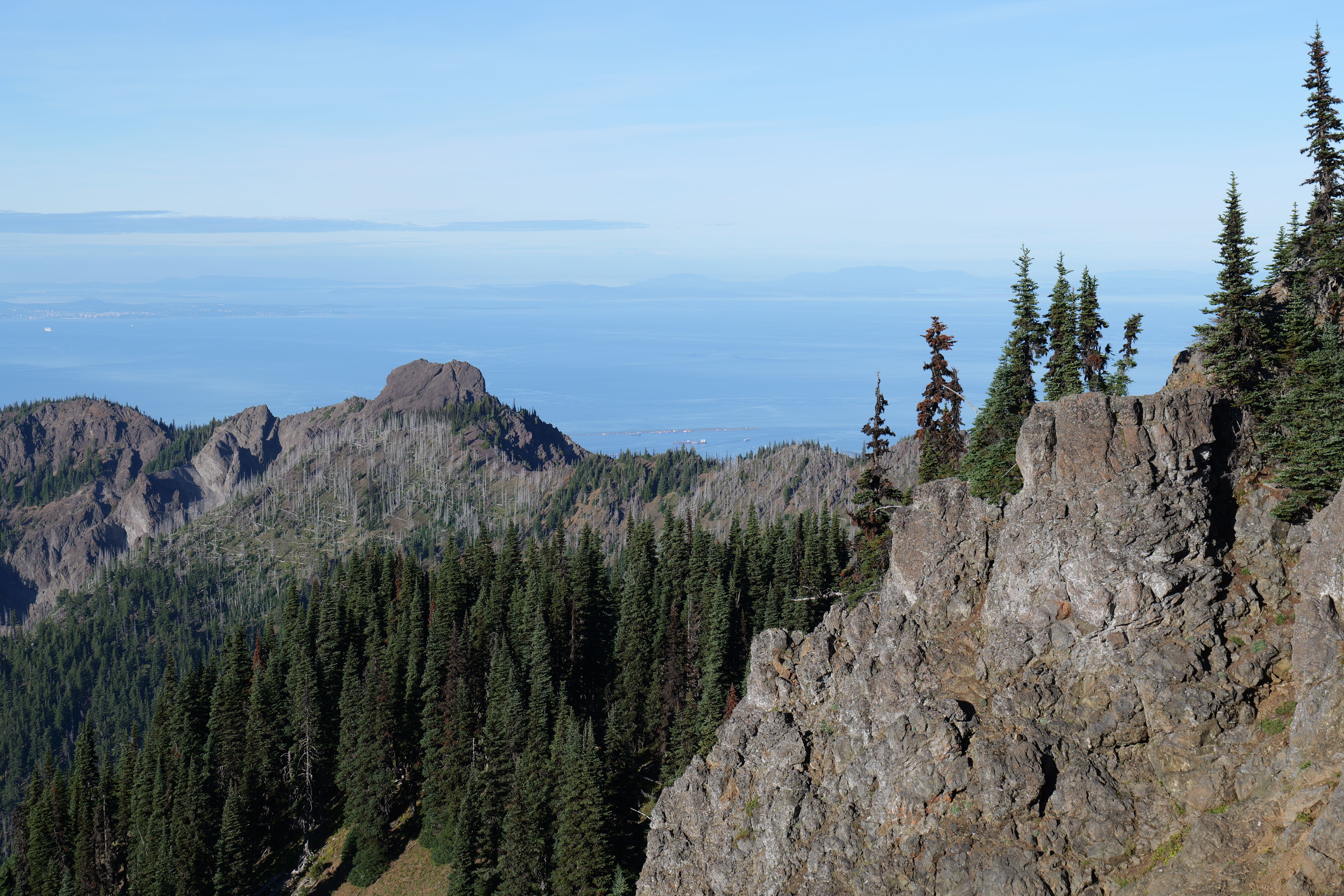
The Earth Observatory recently published detailed satellite imagery highlighting the diverse geographical features of the Olympic Mountain region, showcasing alpine glaciers, temperate rainforests, and rugged coastlines in a single ecosystem view.
WHO ARE THE KEY PLAYERS
Earth scientists, geographers, and remote sensing specialists use satellite data to study environmental changes across different terrains. Global space agencies provide the underlying technology that captures these high-resolution images of our planet.
UNDERSTANDING THE LOCATION
The Olympic Mountain region features a unique mix of microclimates. In Nigeria, we can compare this ecological diversity to the contrast between our dry northern savanna and the wet, dense rainforests of the South-South region, where different weather patterns shape local life.
BACKGROUND AND CONTEXT
For decades, researchers have relied on satellite imaging and remote sensing technology to track environmental shifts. This approach allows scientists to monitor changes in snow cover, forest density, and coastal erosion without needing to step foot in every remote location.
EXPLAINING IMPORTANT REFERENCES
Remote sensing technology refers to the use of satellites or aircraft to gather information about the Earth's surface. Think of it like using a very powerful camera from high up in the sky to check how much water is in our rivers or how green our crops are during the rainy season.
IMPACT ANALYSIS
Clear satellite data helps governments and environmental planners make better decisions about land use, water resource management, and conservation efforts. When communities understand how their local environment is changing, they can better prepare for weather extremes.
WHAT HAPPENS NEXT
As satellite technology continues to improve, researchers will capture even sharper images and more frequent data updates. This will give environmental agencies a clearer picture of long-term climate patterns and help protect fragile natural habitats.
HERO PERSPECTIVE
At Leverage On Heroes Media, our editorial angle focuses on the intersection of advanced technology and environmental stewardship, highlighting how global scientific tools can inform local ecological awareness in Nigeria and beyond.
CLOSING
Understanding our planet from above is the first step toward protecting our natural resources on the ground for future generations.