
HEADLINE
High-Resolution Satellite Remote Sensing Obtains Rare Cloud-Free Observatory View of Stewart Island
OPENING HOOK
Advanced orbital remote sensing technology has captured an exceptionally rare clear satellite view of Stewart Island, also known by its indigenous name Rakiura, highlighting the growing capability of Earth observation satellites to monitor remote wilderness ecosystems under persistent cloud cover.
WHAT HAPPENED
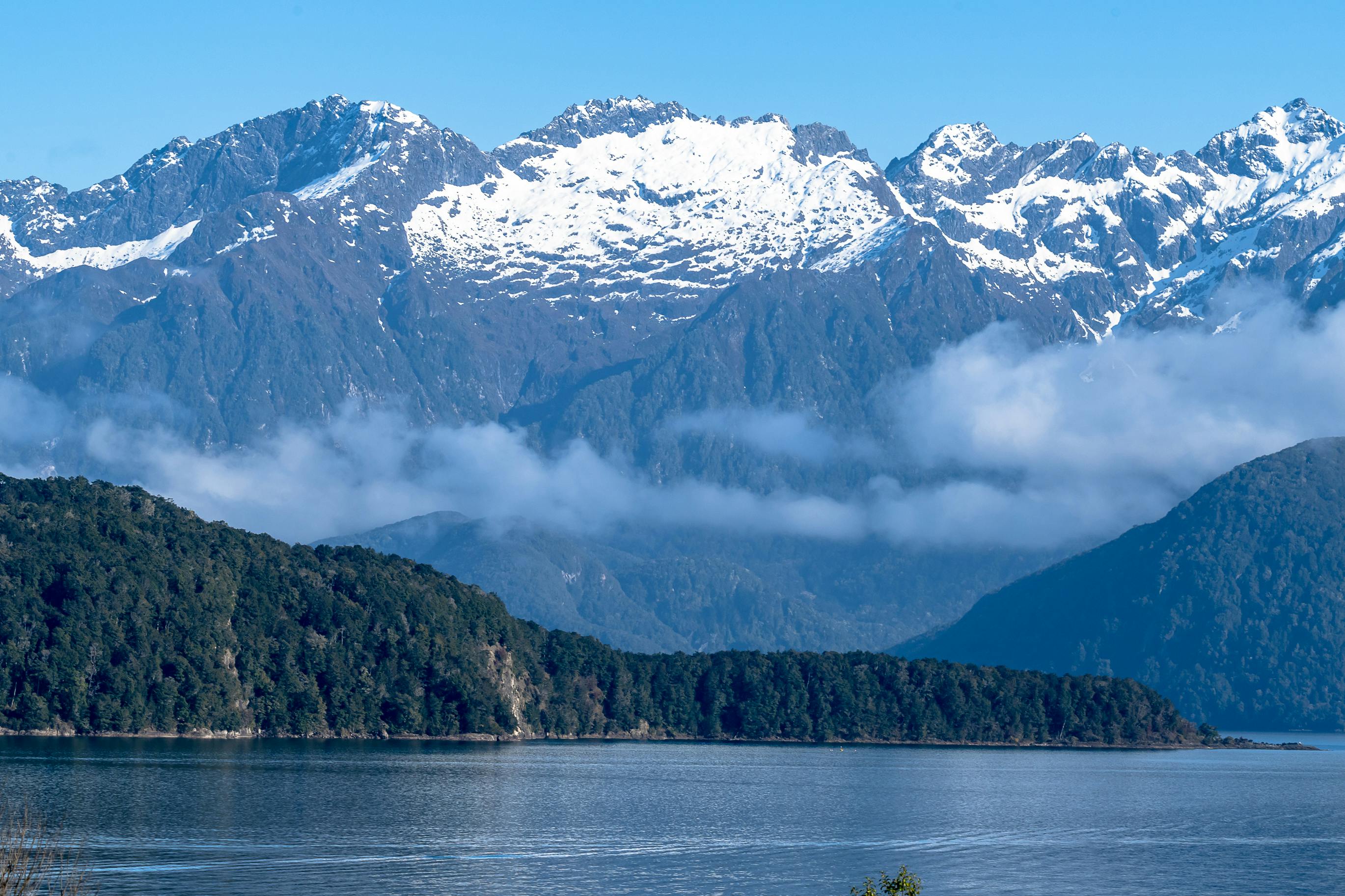
NASA's Earth Observatory released detailed satellite imagery of Stewart Island/Rakiura, New Zealand’s third-largest and southernmost inhabited island, captured during an unusual period of low cloud cover across the southern Foveaux Strait. The high-resolution image captured by spaceborne optical sensors provides researchers and conservationists with an unobstructed view of the island's dense native temperate rainforests, coastal inlets, and rugged terrain. Remote sensing instruments operating in low Earth orbit used multi-spectral imagery to record spatial and vegetation data across Rakiura National Park, which covers approximately 85 percent of the island's total land mass.
WHO ARE THE KEY PLAYERS
The key organizations and technical bodies connected to this observational landmark include: - NASA Earth Observatory: The public Earth science publishing and analytical department responsible for releasing high-resolution remote sensing data from Earth-observing satellites. - Department of Conservation (DOC) New Zealand: The primary national agency tasked with managing Rakiura National Park and overseeing ecological preservation across the island. - Environmental and Remote Sensing Scientists: Global researchers who utilize spaceborne optical sensors to evaluate forest health, carbon storage, and coastal changes in Southern Hemisphere ecosystems.
UNDERSTANDING THE LOCATION
Stewart Island sits roughly 30 kilometers south of New Zealand's South Island, separated by the Foveaux Strait. Positioned within the path of the "Roaring Forties"—a belt of strong westerly winds prevailing in the Southern Hemisphere—the island experiences heavy precipitation and persistent cloud cover for over 200 days a year. This continuous atmospheric disturbance makes acquiring clear optical satellite imagery without heavy cloud contamination exceptionally challenging for space agencies.
BACKGROUND AND CONTEXT
Remote sensing technology relies on space-based sensors detecting reflected solar radiation across multiple wavelengths to map Earth's surface. Historically, regions situated in high-latitude maritime weather zones faced persistent operational gaps in optical remote sensing data due to perpetual cloud cover. Over the past decade, improvements in satellite revisit frequencies, optical sensor sensitivity, and automated cloud-masking algorithms have significantly increased the probability of capturing clear imagery when brief meteorological windows open over isolated landmasses like Rakiura.
EXPLAINING IMPORTANT REFERENCES
To understand the technical relevance of this satellite observation, key terms include: - Remote Sensing Technology: The practice of scanning Earth's surface using satellite sensors or airborne optical radiometers to measure environmental change without making direct physical contact. - Multi-Spectral Imaging: Digital imaging technology that captures optical data across specific bands of light, enabling scientists to differentiate living vegetation from water bodies, bare soil, and urban structures. - Foveaux Strait: The body of water between Stewart Island and the South Island of New Zealand, known for high sea swells and turbulent atmospheric conditions.
IMPACT ANALYSIS
The acquisition of high-clarity satellite data over Stewart Island yields important benefits for technology and ecological management: - Conservation Baseline: Enables environmental managers to map forest canopy density and monitor vegetation health without deploying expensive ground-level field surveys through dense wilderness. - Climate Monitoring: Provides accurate baseline measurements to track coastal erosion, sea surface temperature shifts, and storm impact along remote southern coastlines. - Sensor Calibration: Validates how multi-constellation satellite scheduling reduces data gaps in overcast coastal regions worldwide, offering actionable models for tropical and sub-Antarctic survey missions.
WHAT HAPPENS NEXT
Earth observation programs plan to increasingly combine optical imagery with Synthetic Aperture Radar (SAR), a active radar technology capable of penetrating cloud layers day and night. As public and private satellite constellations expand their revisit capabilities, environmental monitoring of remote regions like Stewart Island will shift toward near-real-time updates, giving conservation teams reliable data despite unpredictable ocean weather.
HERO PERSPECTIVE
The capture of cloud-free multi-spectral data over Rakiura National Park, covering over 1,500 square kilometers of protected wilderness, demonstrates the operational evolution of Earth observation satellites operating in high-latitude maritime climates. When orbital sensors successfully capture clear surface data during narrow weather windows, environmental monitoring shifts from sporadic spot checks to consistent, data-driven conservation.
CLOSING
As satellite sensor resolution improves and satellite constellations grow denser, remote sensing technology continues to eliminate historical data blind spots, bringing the world's most isolated ecosystems into clear view.