
HEADLINE
Unraveling Maine's Coastal Mystery: Why Sandy Beaches Give Way to Rugged Shores
OPENING HOOK
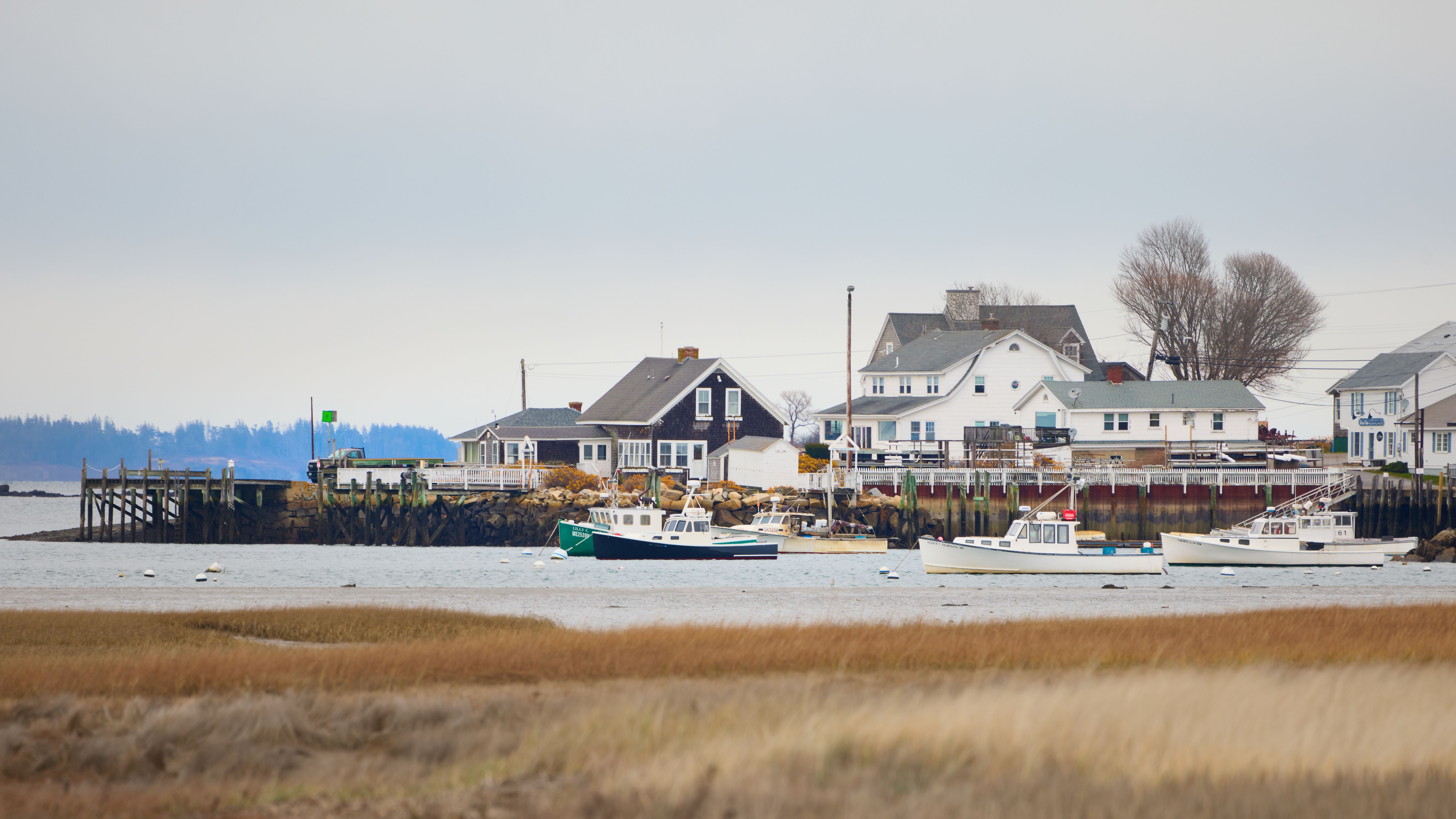
The picturesque state of Maine, nestled in the northeastern United States, presents a striking geological paradox along its Atlantic coast. Travelers moving north from its bustling city of Portland encounter a swift and dramatic shift: from the gentle curves of sandy beaches to a rugged, indented landscape of rocky outcrops. This stark contrast has long fascinated geologists and residents alike, and now, scientific insights offer a clearer understanding of the powerful forces that sculpted these distinct shorelines.
WHAT HAPPENED
Scientific analysis, often supported by satellite imagery from platforms like the Earth Observatory, reveals that the dramatic differences in Maine's coastline are primarily a legacy of the last Ice Age. Massive glaciers, which once covered much of North America, played a pivotal role. As these colossal ice sheets advanced and retreated thousands of years ago, they scoured the landscape, depositing vast quantities of sediment in some areas while exposing ancient, hard bedrock in others, thereby dictating whether a shoreline would be sandy and smooth or rocky and jagged.
WHO ARE THE KEY PLAYERS
While there are no human actors in this geological drama, the primary 'key players' are the natural forces that shaped the land. The **Earth Observatory** is a crucial organization in this context; it is a public information resource from the National Aeronautics and Space Administration (NASA) that publishes satellite imagery and scientific information about Earth's climate and environment. Its data helps visualize and understand these geological formations. The true architects, however, are **glacial processes**, which refer to the actions of massive ice sheets, and **geological forces** like erosion and sediment deposition, which continuously sculpt the Earth's surface.
UNDERSTANDING THE LOCATION
**Maine** is the northeasternmost state in the New England region of the United States, renowned for its rugged coastline, dense forests, and maritime heritage. It borders the Atlantic Ocean to the east and south. The city of **Portland, Maine**, is the state's most populous city and a significant economic hub, situated on a peninsula in Casco Bay. It serves as a geographical reference point, marking the transition zone where the state's southern, sandier beaches give way to the more characteristic rocky, fjord-like coastline that extends further north.
BACKGROUND AND CONTEXT
To truly grasp Maine's coastal geology, one must look back to the **Pleistocene Epoch**, often called the Ice Age, which ended approximately 11,700 years ago. During this period, huge glaciers, sometimes miles thick, covered much of what is now Maine. As these glaciers moved, they acted like giant bulldozers, scraping away loose soil and sediment, and grinding down bedrock. In the southern regions, particularly south of Portland, the retreating glaciers left behind significant deposits of sand, gravel, and clay, forming what are known as glacial outwash plains. These deposits provided the raw material for the wide, sandy beaches seen today. Further north, however, the glaciers often scoured the land down to its ancient, resistant **bedrock** – the solid rock layer beneath the soil – creating the dramatic, indented coastline characterized by rocky headlands and small coves. This bedrock, often granite and other igneous or metamorphic rocks, has proven more resistant to the erosive power of the ocean.
EXPLAINING IMPORTANT REFERENCES
- **Glacial Retreat**: This scientific term describes the process where a glacier's front (or 'terminus') moves backward due to melting exceeding ice accumulation. As glaciers retreated from Maine, they left behind different types of geological material depending on the underlying terrain and the volume of sediment they carried.
- **Erosion**: This refers to the natural process by which geological materials (like rock, soil, and sand) are worn away and transported by forces such as water, wind, and ice. On Maine's coast, both glacial ice and ocean waves are significant agents of erosion.
- **Bedrock**: This is the solid, unweathered rock that lies beneath superficial deposits of soil, sand, and gravel. In northern Maine, the bedrock is often exposed due to glacial scouring and subsequent coastal erosion.
- **Sediment**: This term refers to solid material that is moved and deposited in a new location by natural forces. Examples include sand, silt, and clay. The sandy beaches of southern Maine are largely composed of glacial sediments.
- **Ice Age**: A prolonged period of reduction in the Earth's temperature, resulting in an expansion of continental and polar ice sheets and alpine glaciers. The last Ice Age significantly shaped the current landscape of many northern regions, including Maine.
IMPACT ANALYSIS
Understanding the geological underpinnings of Maine's coast is crucial for several reasons. Firstly, it informs **coastal management strategies**, helping local authorities and communities predict how different parts of the shoreline will respond to natural processes like storms and rising sea levels. Areas with sandy deposits are more susceptible to erosion and require different protection measures compared to areas with resistant bedrock. Secondly, this knowledge is vital for **environmental conservation**, as the distinct geological features support different ecosystems and habitats. Lastly, it offers insights into the broader impacts of **climate change**. As global temperatures rise, accelerating glacial melt and contributing to sea-level rise, the geological legacy of Maine's coast will continue to be tested, with implications for infrastructure, tourism, and biodiversity.
WHAT HAPPENS NEXT
Future developments will likely involve continued scientific monitoring of Maine's coast, especially as climate change intensifies. Researchers will use advanced remote sensing technologies, similar to those employed by NASA's Earth Observatory, to track changes in shoreline morphology, erosion rates, and sediment movement. This data will be critical for informing policy decisions regarding coastal development, hazard mitigation, and ecological preservation. Communities along Maine's diverse coastline will need to adapt to evolving environmental conditions, leveraging scientific understanding to build resilience against the ongoing forces of nature.
HERO PERSPECTIVE
Leverage On Heroes Media believes that understanding the fundamental geological processes that shape our world is an act of proactive heroism. By unraveling the mysteries of Maine's varied coastlines, we gain not just scientific knowledge, but also a deeper appreciation for the Earth's dynamic systems. This perspective empowers us to make informed decisions about environmental stewardship, ensuring that future generations can also marvel at the intricate beauty and resilience of our planet, even as we confront the challenges of a changing climate. It is through such scientific clarity that we can best protect our natural heritage.
CLOSING
The contrasting beauty of Maine's coast, from its gentle sandy shores to its rugged, rocky cliffs, is a testament to the enduring power of geological history. The legacy of ancient glaciers continues to shape the present and influence the future, reminding us that the land beneath our feet holds stories thousands of years in the making, stories that are ever-relevant to our modern challenges.